Heavy snow, dangerous travel ahead
Major winter storm targets Mifflin, Juniata
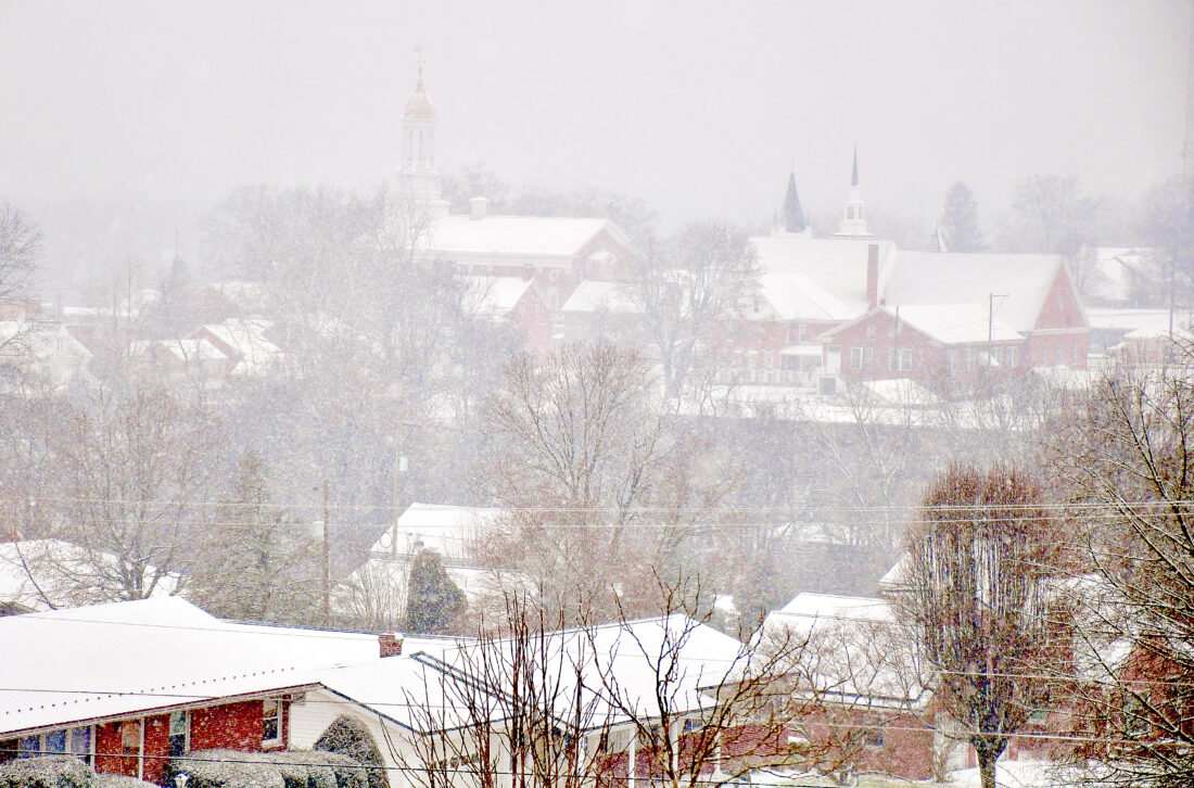
Sentinel file photo
Weather officials warn that the Juniata River Valley is expected to receive a substantial snowstorm this weekend.
STATE COLLEGE — A major winter storm is expected to impact Mifflin and Juniata counties beginning late Saturday, with forecasters warning of heavy snow, strong winds and dangerous travel conditions that could last into Monday afternoon.
The National Weather Service in State College has issued a Winter Storm Warning for the region from 10 p.m. Saturday to 1 p.m. Monday, calling for total snowfall accumulations of 10 to 18 inches and warning that travel could become difficult or impossible.
Snow is expected to begin after dark Saturday, with conditions deteriorating overnight and the worst of the storm unfolding Sunday and Sunday evening, according to David Martin, a meteorologist with the National Weather Service in State College.
“It’s going to come in after dark tomorrow night,” Martin said. “Probably sometime in the evening, we’ll start getting a little bit of snow. The worst of it looks to be during the day Sunday and Sunday evening, tapering off toward Monday morning.”
Forecasters expect the storm to be a long-duration event, with snow continuing over an extended period rather than falling in a brief burst.
“Yes,” Martin said when asked if the system would qualify as a long-duration storm.
According to the National Weather Service, snow will overspread central Pennsylvania late Saturday night and become heavy at times Sunday. Snowfall rates could reach one to two inches per hour, particularly during the peak of the storm. Frigid temperatures and gusty winds are expected before, during, and after the snowfall, increasing the risk of blowing and drifting snow.
Martin said forecasters are most confident that snowfall totals across Mifflin and Juniata counties will fall within the 10- to 18-inch range, though exact amounts will depend on the storm’s track and snow consistency.
“I think the meaning from what my coworkers have been discussing is somewhere in the 10- to 18-inch range,” Martin said. “It could be less, it could be more, but somewhere in that range.”
The storm’s track could influence how wet or fluffy the snow becomes, which affects accumulation and drifting.
“The further north it comes, the wetter the snow is,” Martin said. “Sometimes when you get the storm heading farther south, the snow is fluffier. You can end up with more fluffy snow or a little bit less snow than the heavier snow, even with the same water content.”
Wind is also expected to be a significant factor, particularly as temperatures drop into the teens.
“With temperatures in the teens and wind blowing, and with snow on the ground, I would expect some blowing and drifting,” Martin said. “By Monday, I would expect it to be windy again.”
PennDOT officials advised motorists to consider delaying travel during the storm, especially during peak snowfall on Sunday. If travel is unavoidable, drivers should use extreme caution and check 511PA.com for real-time road conditions, closures, and restrictions.
The Winter Storm Warning urges residents to prepare for widespread and prolonged travel disruptions, particularly on secondary roads, and cautions that hazardous conditions could persist. Starting at midnight Saturday, Jan. 24, state officials said a Tier 4 vehicle restriction is planned for all Pennsylvania interstates, the Pennsylvania Turnpike and its extensions, along with several other major roadways.
On roads where Tier 4 restrictions are in effect, commercial vehicles are not permitted, and restrictions also apply to school buses, commercial buses and motor coaches, motorcycles, RVs and motorhomes, and passenger vehicles towing trailers, officials said. Restrictions will be updated through 511PA and on variable message boards into Monday morning.
“Our crews are hard at work preparing for this weekend’s storm, and we’ll be out in force throughout the event,” PennDOT Secretary Mike Carroll said. “With the accumulation we’re expecting to see across most of the state, it’s important to remember that roads will not be completely clear of snow. Please, avoid traveling if you can. If you must venture out, please slow down and allow extra time.”
Forecasters said additional updates will be issued as the storm approaches and encouraged residents to monitor official weather information throughout the weekend.